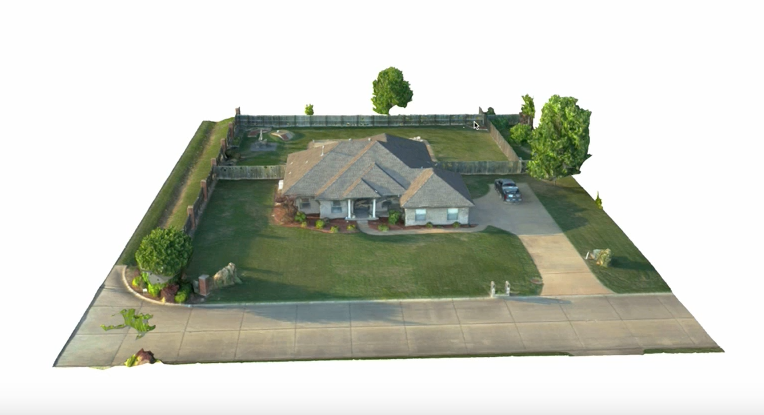
I use a Mavic 3 Enterprise drone to fly a grid mission that aquires geo tagged images. These images will be stitched together to create a 2d and 3d model. From this you can do measurments, stockpile analysis and much more.
T40 remote
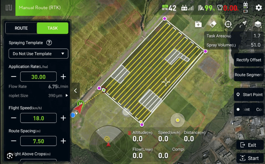
contour map

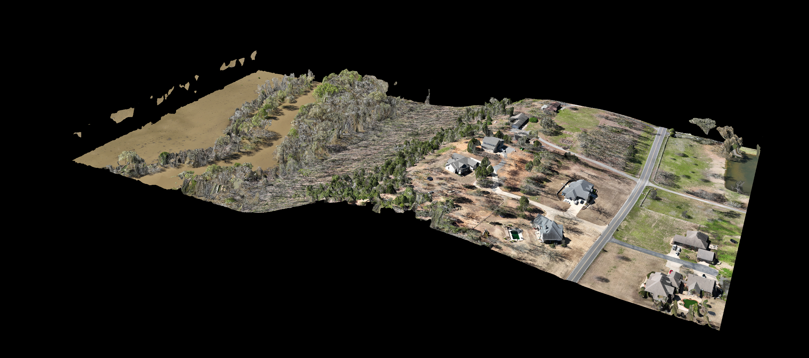
stockpile